Highest Point
3,815 m
Approximately 12,516 feet above sea level, according to the Uttarakhand Tourism trek listing.

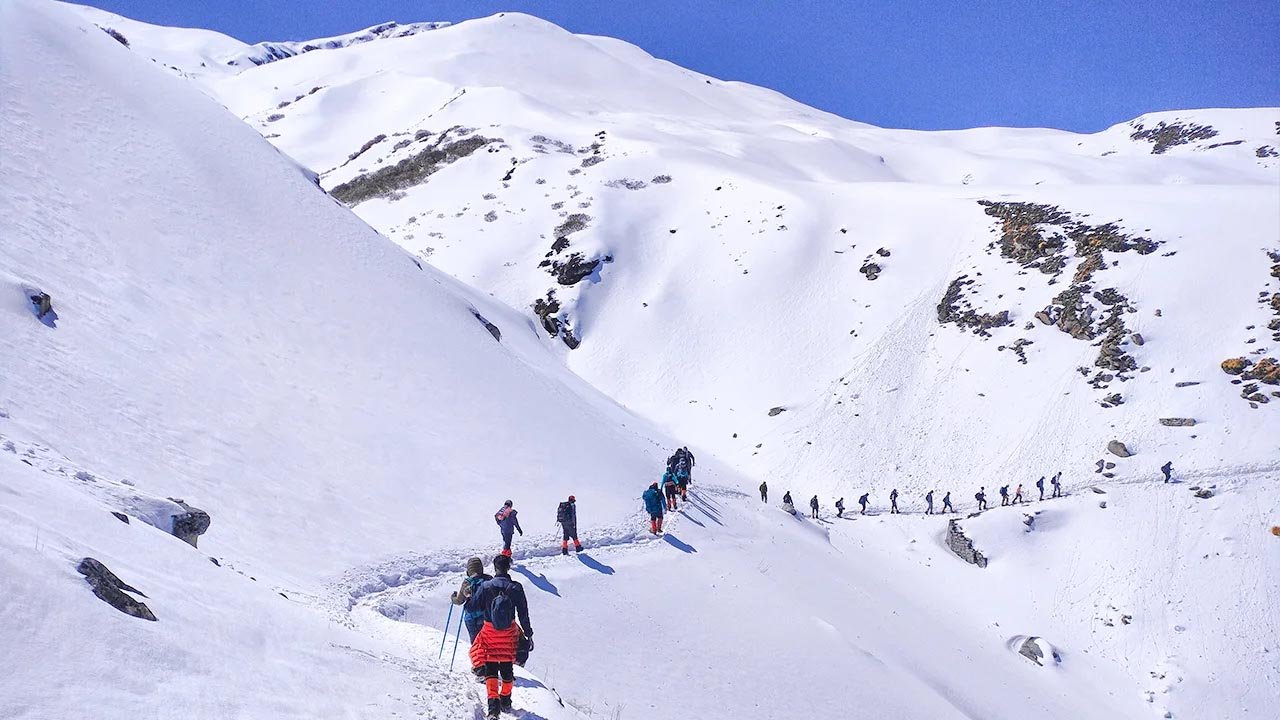
Walk through oak forests, open alpine meadows and spectacular mountain landscapes on one of Chamoli's most rewarding Himalayan treks.
Plan Your TrekKuari Pass is a celebrated trekking route in the Garhwal Himalayas of Chamoli district, offering expansive views of some of the region's best-known mountain peaks.
Also known as Lord Curzon's Trail, the route takes trekkers through forest paths, traditional mountain landscapes, high meadows and exposed ridgelines. The changing scenery is part of the experience: quiet woodland gives way to open slopes and wide Himalayan panoramas.
The trek is commonly graded moderate. It is not a technical climbing expedition, but it does require good fitness, preparation and the ability to walk for several hours over uneven terrain. Snow and changing weather can make the route considerably more demanding.
Whether you are a keen hiker or planning your first multi-day Himalayan trek, Kuari Pass rewards a measured pace, respect for the mountains and thoughtful planning.
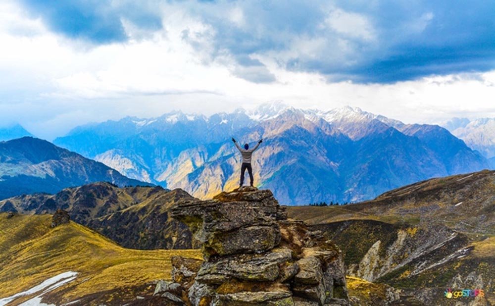
Every climb opens up a new perspective on the mountains.
Use these figures as a starting point. Your actual distance and schedule depend on the route, campsite plan, weather and local trekking arrangements.
Approximately 12,516 feet above sea level, according to the Uttarakhand Tourism trek listing.
Expect sustained uphill walking, uneven trails and potentially challenging snow or weather conditions.
Itineraries vary. Allow additional time for travel to Joshimath, acclimatisation and unexpected delays.
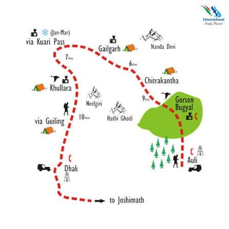 Route & Terrain
Joshimath is the principal base for many Kuari Pass itineraries. From there, trekkers generally travel by road to a designated trailhead near Dhak or another locally used starting point, depending on the route selected.
The trail climbs through villages and forested slopes before reaching open camping areas around Gulling and Khullara on common itineraries. As the landscape opens, views of the surrounding peaks become increasingly expansive.
The pass section brings trekkers onto higher terrain, where conditions can change quickly. Some itineraries continue towards Tali and Auli; others return along a different route or retrace part of the trail.
The best route is the one that fits the conditions, your fitness and the guidance of local professionals.
This is a broad planning framework, not a fixed operational itinerary. Confirm walking distances, campsites, access and daily timings with your trek organiser before departure.
Travel through the Alaknanda valley to Joshimath. Check your equipment, meet your trekking team and review the weather, route conditions and local requirements. An acclimatisation period may be appropriate depending on your travel history and itinerary.
Transfer to the selected trailhead and start the ascent. Forest paths, village surroundings and gradual changes in vegetation introduce you to the mountain environment. Walk at a steady pace and keep hydrated.
The route continues uphill through woodland and more open terrain. Depending on the itinerary, Khullara serves as a campsite or staging point for the higher trail. Rest, eat well and prepare for colder conditions at elevation.
The higher section offers expansive mountain views when visibility is good. Snow, wind and trail conditions can affect the time needed and whether reaching the pass is safe. Follow your guide's decisions and turn back when conditions require it.
Depending on the itinerary and current trail conditions, the trek may descend through Tali towards Auli or follow an alternative return route. Arrange your transport in advance and keep spare time for delays.
Spring and early summer: Forest sections and meadows can be especially attractive, with seasonal vegetation and rhododendron blooms in suitable areas.
Autumn: Clear post-monsoon days can offer excellent mountain visibility, although temperatures drop as the season progresses.
Winter: Snow transforms the landscape but may cover trail markers, increase exertion and require specialised equipment and experienced support. Winter conditions should never be assumed safe simply because a route is popular.
Monsoon: Heavy rain, slippery trails, poor visibility and landslides can affect both trekking and road travel. Avoid setting out without checking official advisories and current local conditions.
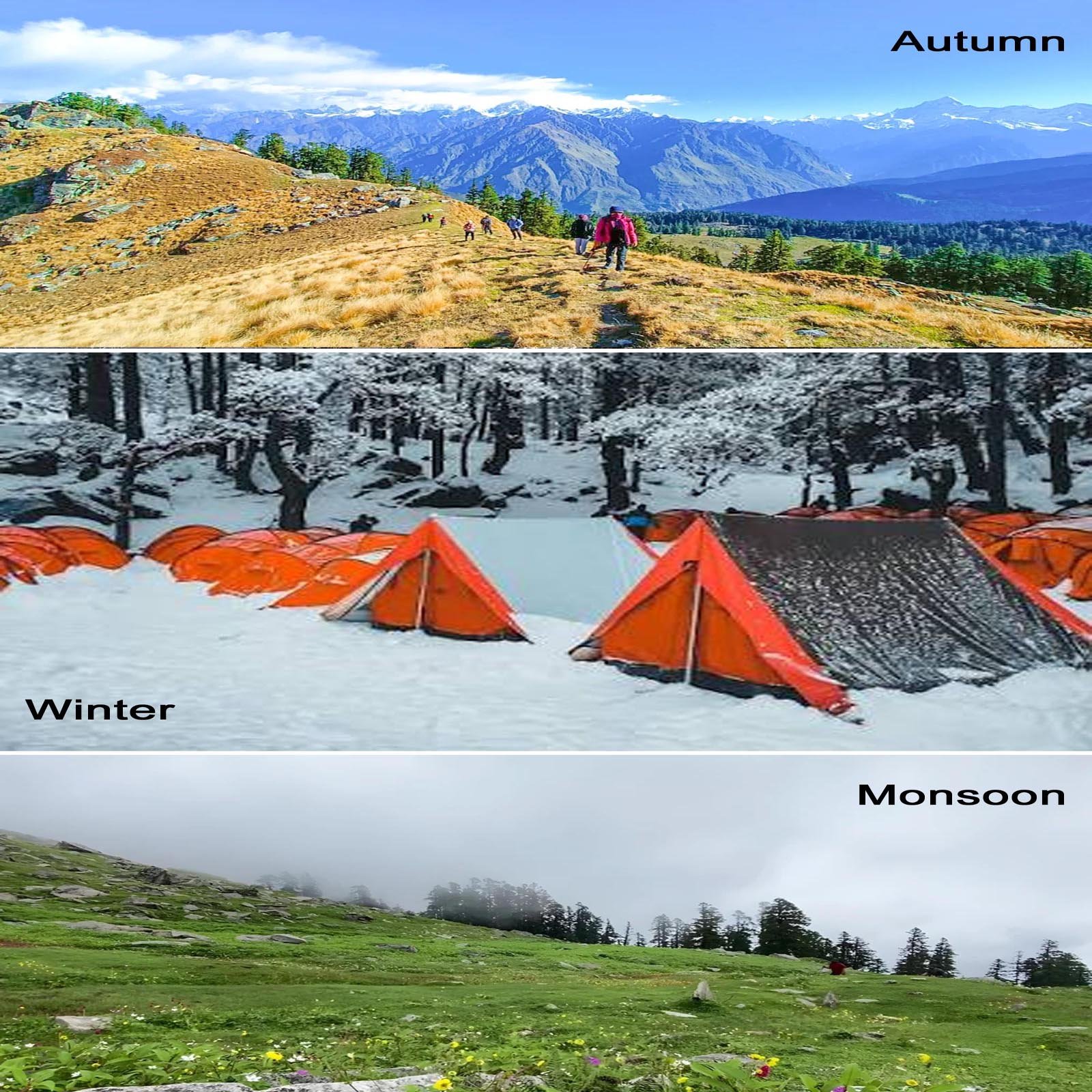 A Landscape for Every Season
Pack according to the forecast, season, route and the equipment provided by your trek organiser. Keep your backpack manageable and protect essentials from rain and snow.
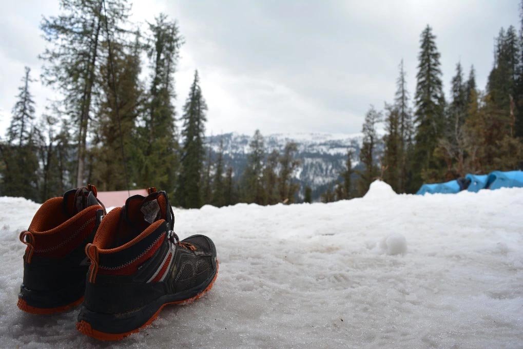
Broken-in trekking boots, moisture-wicking layers, a warm insulating layer, waterproof outerwear, spare socks, gloves and a hat.
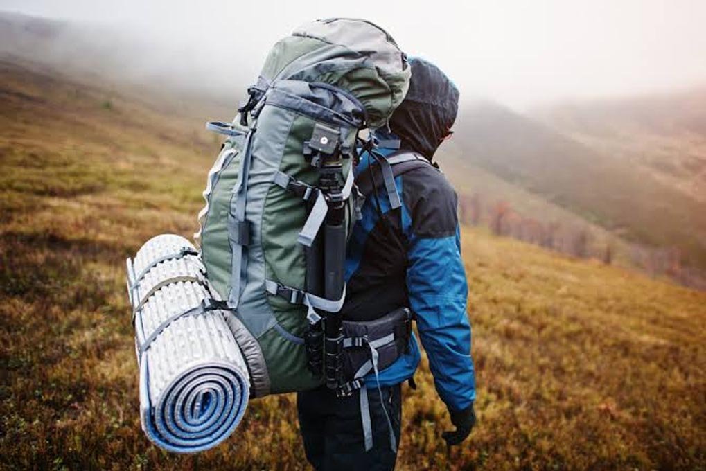
A comfortable backpack, drinking water, food and snacks, headlamp, sun protection, personal medicines, identification and a power bank.
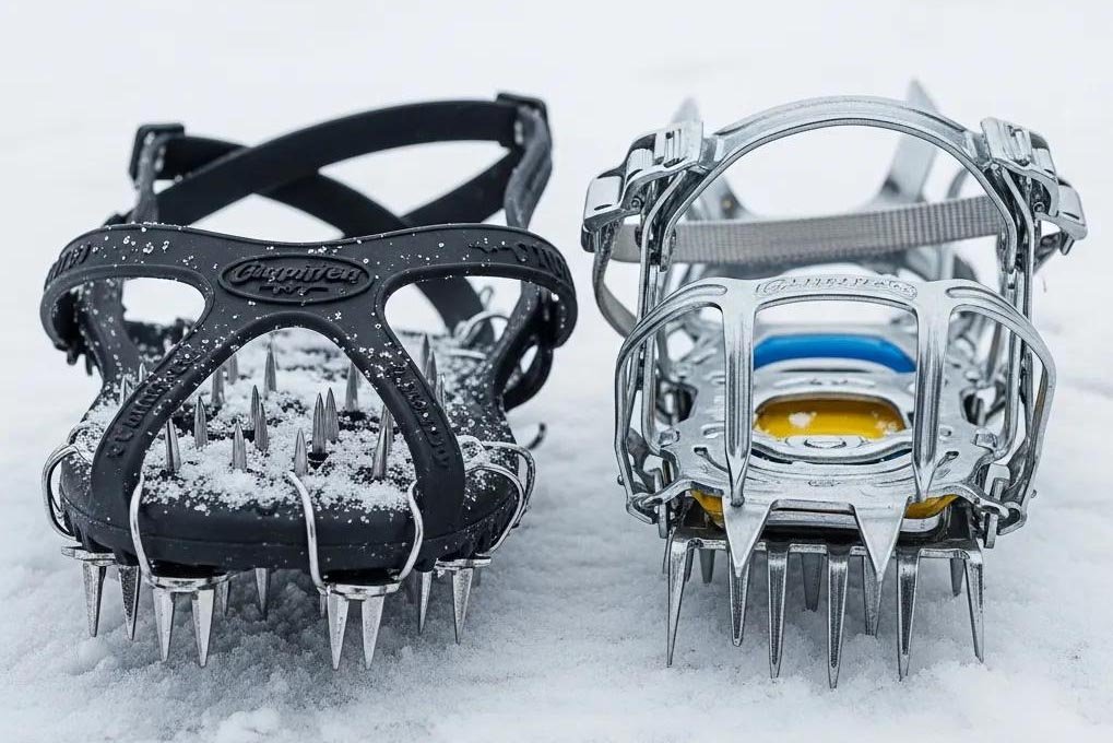
In snow, suitable gaiters, traction devices and other winter equipment may be necessary. Use them only with proper instruction and guidance from experienced trek leaders.
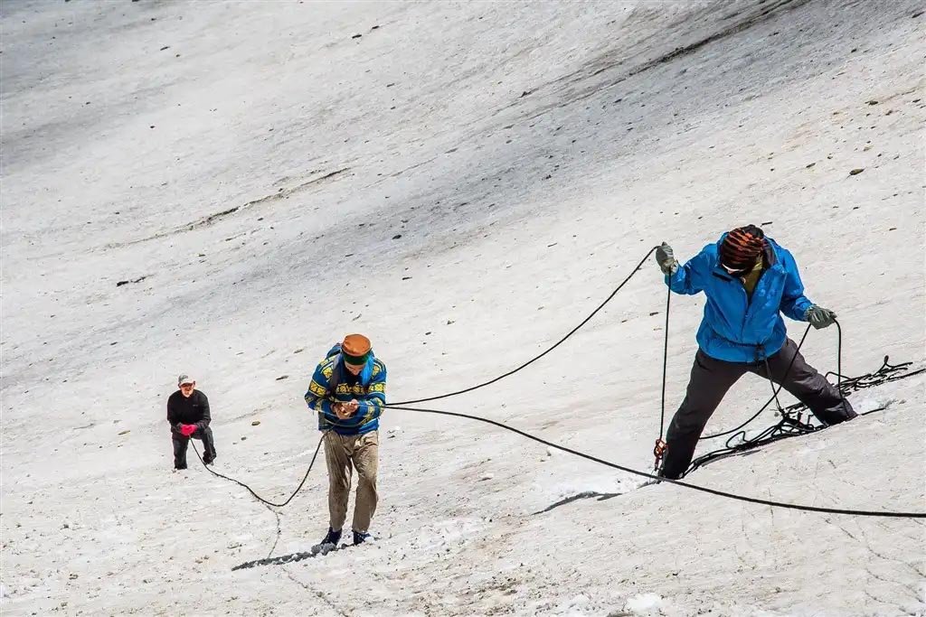
Even a moderate trek can become challenging at altitude. Walk at a pace that allows you to recover, take regular breaks and follow your guide's instructions. Do not continue upwards if you feel unwell.
Headache, nausea, dizziness and unusual fatigue can be signs of altitude illness. Tell your guide promptly. Severe or worsening symptoms require immediate descent and urgent medical assessment.
Check official weather and local trail advisories, confirm any applicable permits or access rules, and carry suitable emergency supplies. Do not rely on mobile coverage being available throughout the route.
The forests, meadows and mountain trails around Kuari Pass are part of a sensitive Himalayan environment. Responsible trekking helps protect these landscapes and respects the communities who live nearby.
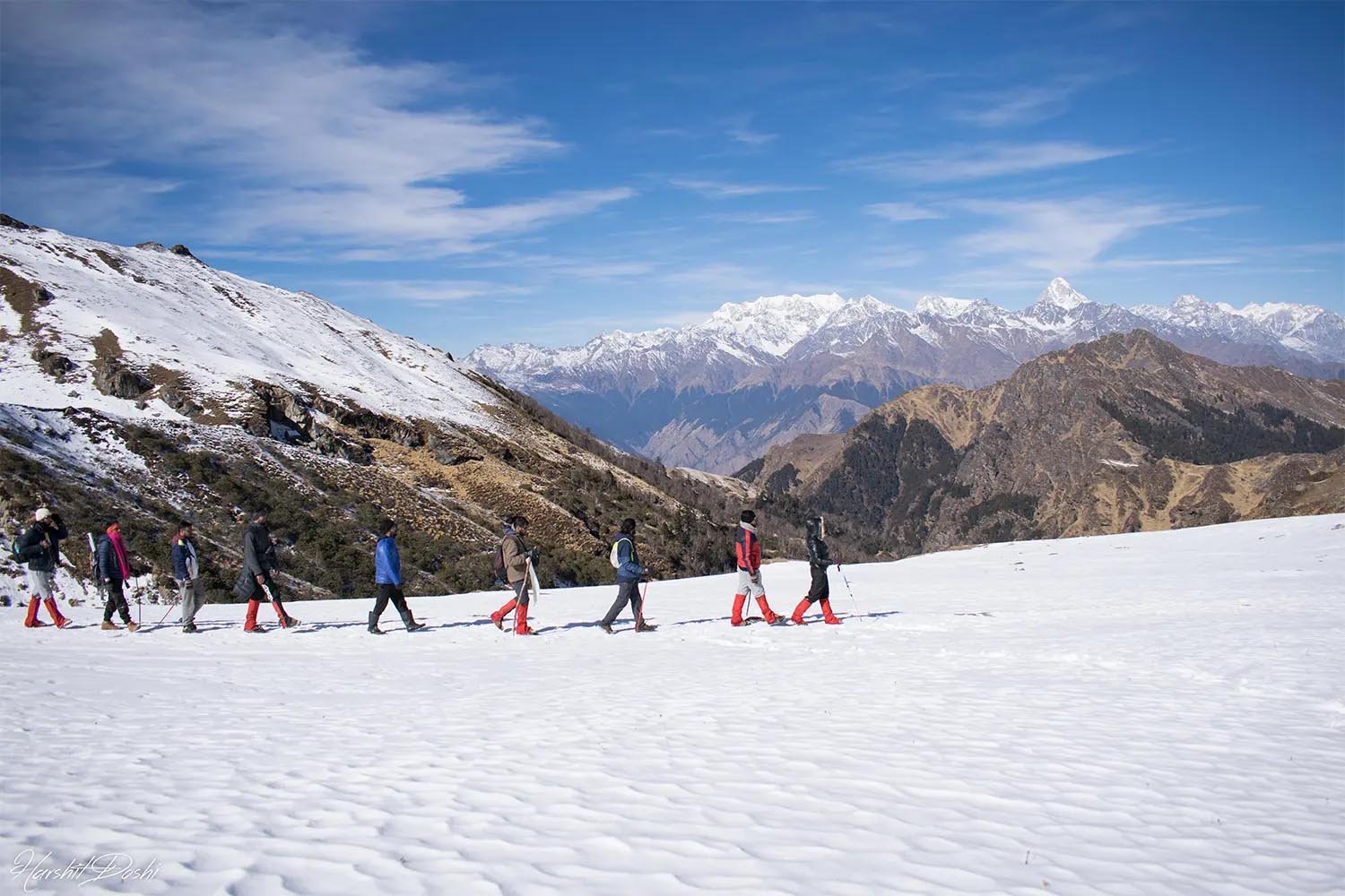
Kuari Pass offers a memorable way to experience the forests, meadows and grand mountain scenery of the Garhwal Himalayas. Prepare thoughtfully, trek responsibly and let the mountains set the pace.
Kuari Pass Chamoli Uttarakhand